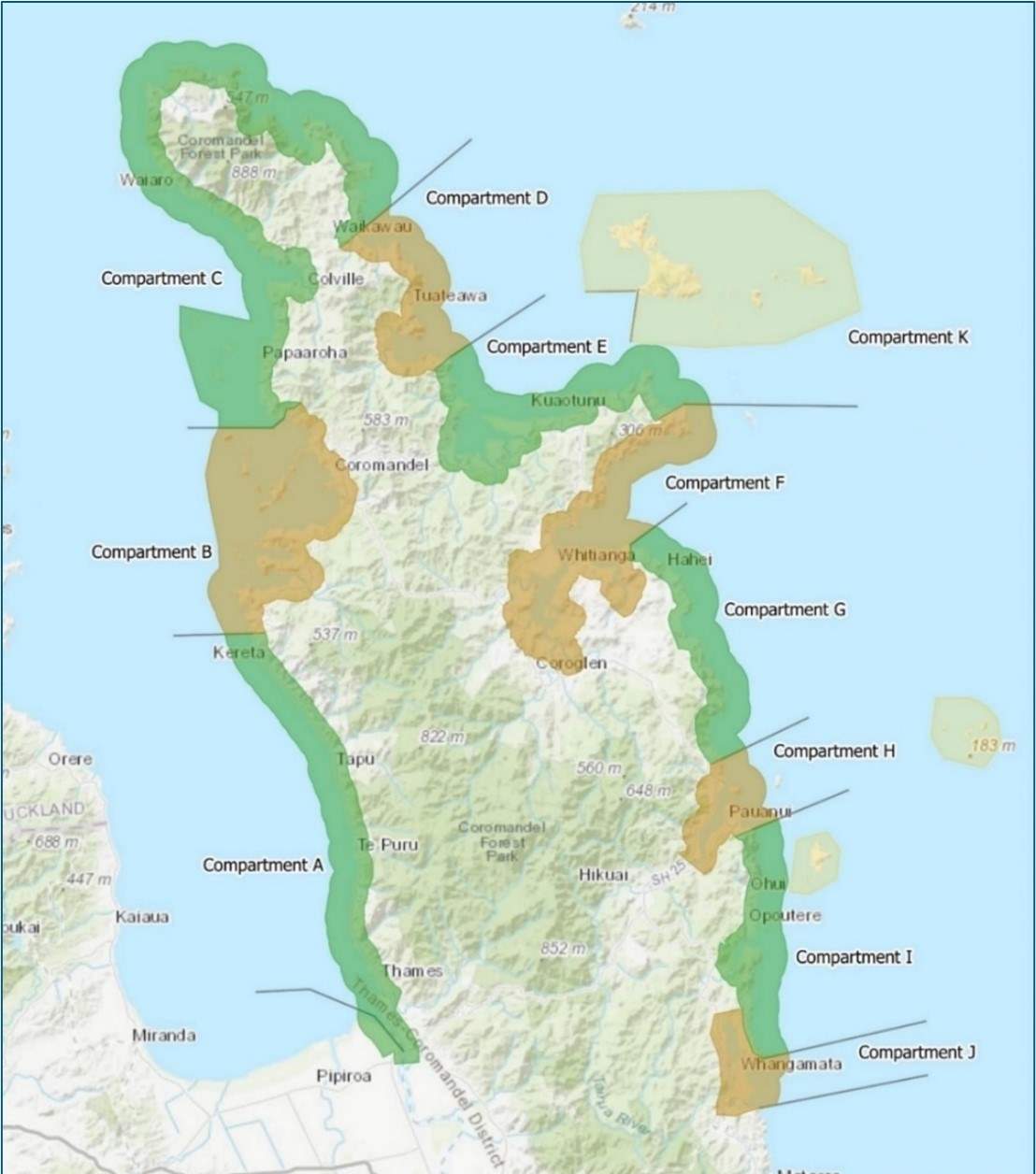
Subdivision of the coast
Due to the Coromandel Peninsula’s diverse features, a clear differentiation can be made between the geomorphology, coastal processes (particularly wave exposure), and ecology of the west and east coastlines. To assist in the process of shoreline management planning, the coast was divided into ‘coastal compartments’, primarily based on coastal character (geomorphology) and processes (shown in the figure below[1]).
The aim of compartmentalising the coastline was to provide logical shoreline management areas, where the character of the coast and its essential qualities and values could be captured and a consistent approach to management (adaptation policies) applied[2].
As the adaptation planning process evolved, ‘management areas’ were subdivided into policy units, distinct stretches of the coast for which a consistent adaptation pathway was developed. Where the pathway (or coast) changed, this defined the start of a different ‘policy unit’.
Footnotes
- 1 Note that the figure above refers to the east coast offshore islands as Compartment K (as defined during the Scoping stage of the SMP project), but this compartment has since been integrated into the other compartments. That is, the offshore islands, where relevant, are considered within the east coast mainland coastal compartments that they are adjacent to.
- 2 In recognition of the fact that management actions on one stretch of coast will often influence adjacent stretches of coast.